Nabin K. Malakar, Ph.D.

NASA JPL
I am a computational physicist working on societal applications of machine-learning techniques.

Research Links

My research interests span multi-disciplinary fields involving Societal applications of Machine Learning, Decision-theoretic approach to automated Experimental Design, Bayesian statistical data analysis and signal processing.

Linkedin


Interested about the picture? Autonomous experimental design allows us to answer the question of where to take the measurements. More about it is here...

Hobbies

I addition to the research, I also like to hike, bike, read and play with water color.

Thanks for the visit. Please feel free to visit my Weblogs.

Welcome to nabinkm.com. Please visit again.

Saturday, December 22, 2012

Wild Fire in Langtang National Park detected from Space

DHUNCHE: A massive wild fire spread across Rasuwa’s northern Timure and the surrounding forest of Langtang area this morning. The inferno in Langtang National Park area was reported after a huge cloud of smoke was seen from the headquarters at around 10:00 am. According to locals, they first suspected a volcano eruption but they did not hear any explosive sound. As the incident site is far from human settlement, people are safe, said District Police Office. The incident site is a three-day walk from the district headquarters. A Nepali Army chopper, which had reached the site at 1:00 pm, is learned to have returned without learning about the cause of the fire.
That was the news. Source: http://www.thehimalayantimes.com/fullNews.php?headline=Fire+engulfs+Langtang+National+Park+area&NewsID=358587

The NASA remote sensing observation satellites called Moderate-resolution Imaging Spectroradiometer  (MODIS) detected fire activities in the area. Attached is the screenshot.
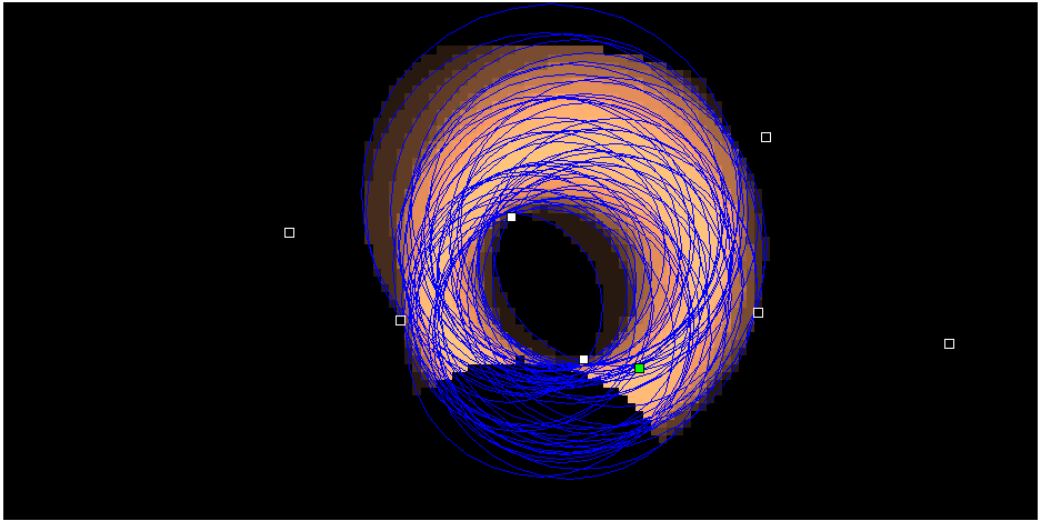
NASA MODIS detection of recent wildfires in Nepal. This is an example of how useful the remote sensing observation can be for mountainous country like Nepal. The helicopter observation could not tell whether it was fire or volcano. Twitter was filled with the news of volcano/not volcano discussions.  I believe one of the ministry (of environment) should be enrolled to NASA fire updates so that they can get alerts for such incidents.

More about the tools:
The Fire Information for Resource Management System (FIRMS) integrates remote sensing and GIS technologies to deliver global MODIS fire locations and burned area information. The active fire locations are processed by LANCE using the standard MODIS MOD14/MYD14 Fire and Thermal Anomalies product. Each active fire location represents the center of a 1km pixel that is flagged by the algorithm as containing one or more fires within the pixel.
http://firms.modaps.eosdis.nasa.gov/firemap/

If someone is concerned about the fire in any particular location, they also provide email subscription alerts. I think someone in environment ministry should be interested. Just wanted to point out the tools that may help the decision makers.

-->

Sunday, December 16, 2012

बादल छैन परदेशीलाई

गाउँमा वदली हुँदा मेरी आमा आकाश तिर हेरेर, 
धारे हात लाउँदै "अब कुन पाखा लान्छस् ?" भनेर बिच्कन्थे । 
खोला साँध परेको खेत, आधा बगेर पारीपट्टी चरन भएको थियो ।
नत पारीकाले दाबी गर्न सके नत हाम्रो हक लाग्यो !

म भने बादल हेरेर खुब रमाउँथे 
बादलले लिने आकार हेरेर दंग पर्थें र 
बादलको हात्ति चढेर कल्पनाको संसारमा डुबीरहन्थे।

"यो मोरा कति ट्वाल्ल परेर बस्न सक्छ?"
"बादल हेर्ने मान्छे हुस्सु हुन्छ "
मैले बादल हेर्न छोडीन।  मेरो घैटोमा घाम लागेन।

आज म बर्षैभरि घाम लाग्ने ठाउँमा छु 
तर यहाँ बदलि हुन्न। निलो आकाशतिर टोलाउँछु केवल रिक्तता पाउँछु ।
मानिसले मानिसलाई मानिस नगन्ने यो मरुभूमिमा  
आकार बुन्ने र सपना देख्ने मेरो सहारा, बादल, कतै भेटिन्न ।
सपनाको देशमा आएपछि,  सपना बुन्ने मेरो क्षमता टुटेको छ ।

Mom, I miss you :'(
"बादल छैन परदेशीलाई"

-->

Friday, November 9, 2012

"Pale Blue Dot"- Carl Sagan


From this distant vantage point, the Earth might not seem of particular interest. But for us, it's different. Consider again that dot. That's here. That's home. That's us. On it everyone you love, everyone you know, everyone you ever heard of, every human being who ever was, lived out their lives. The aggregate of our joy and suffering, thousands of confident religions, ideologies, and economic doctrines, every hunter and forager, every hero and coward, every creator and destroyer of civilization, every king and peasant, every young couple in love, every mother and father, hopeful child, inventor and explorer, every teacher of morals, every corrupt politician, every "superstar," every "supreme leader," every saint and sinner in the history of our species lived there-on a mote of dust suspended in a sunbeam.

The Earth is a very small stage in a vast cosmic arena. Think of the endless cruelties visited by the inhabitants of one corner of this pixel on the scarcely distinguishable inhabitants of some other corner, how frequent their misunderstandings, how eager they are to kill one another, how fervent their hatreds. Think of the rivers of blood spilled by all those generals and emperors so that, in glory and triumph, they could become the momentary masters of a fraction of a dot.

Our posturings, our imagined self-importance, the delusion that we have some privileged position in the Universe, are challenged by this point of pale light. Our planet is a lonely speck in the great enveloping cosmic dark. In our obscurity, in all this vastness, there is no hint that help will come from elsewhere to save us from ourselves.

The Earth is the only world known so far to harbor life. There is nowhere else, at least in the near future, to which our species could migrate. Visit, yes. Settle, not yet. Like it or not, for the moment the Earth is where we make our stand.

It has been said that astronomy is a humbling and character-building experience. There is perhaps no better demonstration of the folly of human conceits than this distant image of our tiny world. To me, it underscores our responsibility to deal more kindly with one another, and to preserve and cherish the pale blue dot, the only home we've ever known.” 
― Carl SaganPale Blue Dot: A Vision of the Human Future in Space
http://www.youtube.com/watch?v=wupToqz1e2g

The background behind the story:
http://en.wikipedia.org/wiki/Pale_Blue_Dot

-->

Thursday, October 25, 2012

Attending #CIDU2012 in Boulder Colorado

I am currently attending Conference on Intelligent Data Understanding (CIDU) here in Boulder.
The conference theme for this year is "Bringing Data and Models Together". The presentations consist of scientists from a wide variety of fields: Space Science, Earth and Environment Systems, and Aerospace and Engineering Systems. This is a great conference bringing researchers practicing data mining, machine learning or computational intelligence.
I am enjoying all the talks. The final agenda for CIDU 2012 can be found  here.

This is the first time that the CIDU is being held in NCAR, Boulder, away from its "home".

I presented yesterday. First day first slot: nice!!
It was about "Estimation and Bias Correction of  Aerosol Abundance using  Data driven Machine Learning and Remote Sensing ". Basically this paper discusses a general framework to choosing the optimal set of variables for machine learning/bias correction. Neural network was used, however one can insert his/her favorite Machine learning tool (SVM, DT, RF, GP etc). This involves massive number crunching for brute force search among all possible combination of variables. For 15 variable case, it has more than 32 thousands of combinations to try. I wonder if Bayes Net can help me to intelligently reduce the search.

Forgot my SD card, and it is cloudy+started to snow. While driving down the road, I saw nice mountains!! However, no pictures on this post!
(Happy Dashain!!)
-->

Wednesday, September 26, 2012

Hack Kinect to automate map making

In the video Maurice Fallon, an MIT researcher, describe a wearable sensor system that automatically creates a digital map of the environment through which the wearer is moving.
Using LIDAR, MS Kinect, IMU (battery), the user gathers the data which is processed on the fly on a base (computer) and a 2D map is built in real time.
This could be very useful in disaster response zone.

--> Read more:
http://web.mit.edu/newsoffice/2012/automatic-building-mapping-0924.html